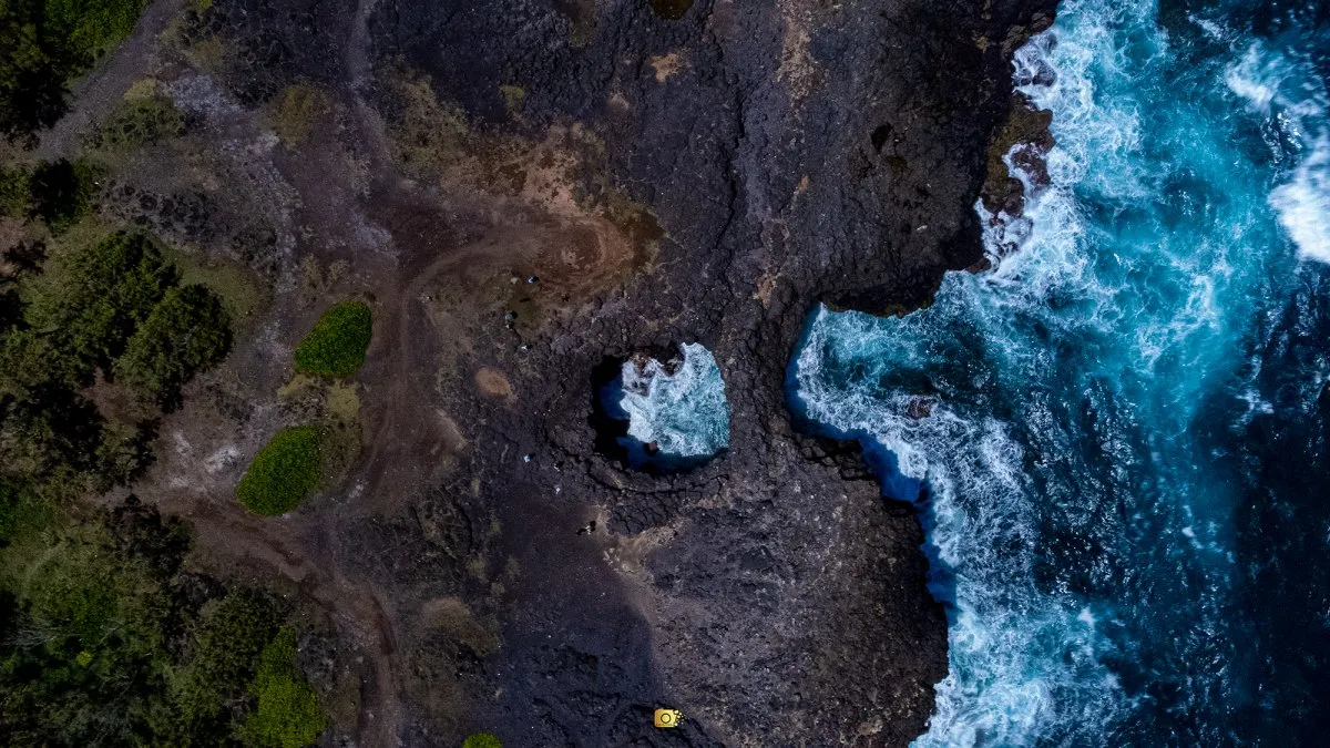
Aerial View of Pont Naturel and Its Volcanic Rock Arch
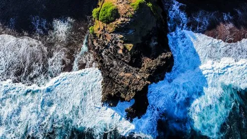
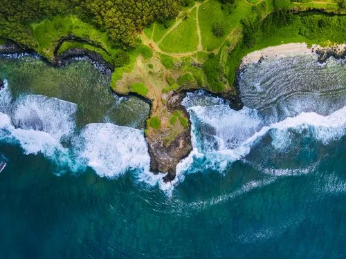
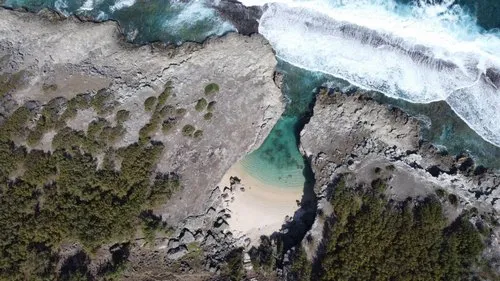
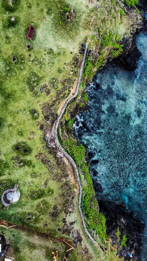
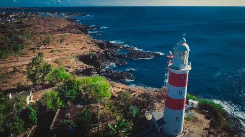
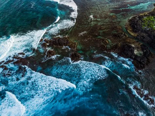
This aerial photo shows Pont Naturel, between Le Bouchon and Le Souffleur on the south-east coast of Mauritius. From above, the natural bridge is much easier to understand: the dark volcanic rock forms an arch over an opening where the Indian Ocean pushes through with considerable force. Pont Naturel is entirely natural, created by erosion of the basalt coastline rather than by human construction.
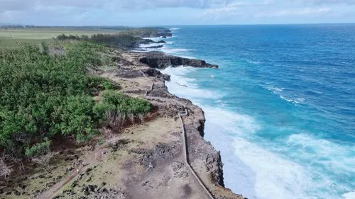
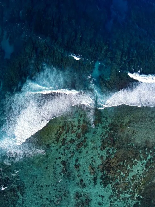
The drone perspective also reveals the contrast between the almost black volcanic rock and the bright turquoise water breaking around it. This section of coast is much more exposed than the island's protected lagoons, with strong waves striking directly against the cliffs, which is why Pont Naturel is considered a sightseeing and photography location rather than a swimming spot. Water can also pass through small openings in the rock and produce the whistling effect locally associated with "le souffleur."
Access is generally from the Le Bouchon side, either by rough tracks through the surrounding cane fields or on foot along the coast. In 2026, a new 3 km coastal walking track was inaugurated linking Le Bouchon Public Beach toward the Pont Naturel region, making this part of the wild south-east coast more accessible to walkers.
17 views
••September 7, 2026Camera Details
Cameradji mini 2
Lensfc 7303
Aperture-
Shutter Speed1/600
ISO100.0
Focal Length4mm