Ruisseau du Pouce Canal at Caudan Waterfront
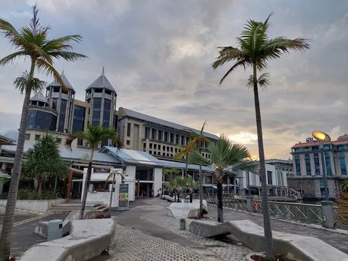
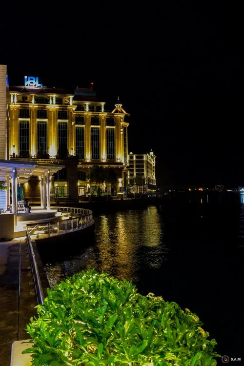
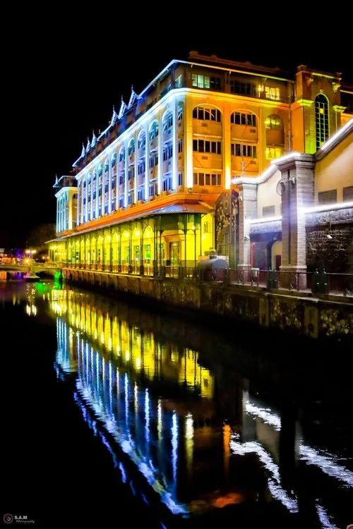
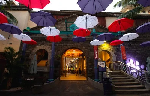
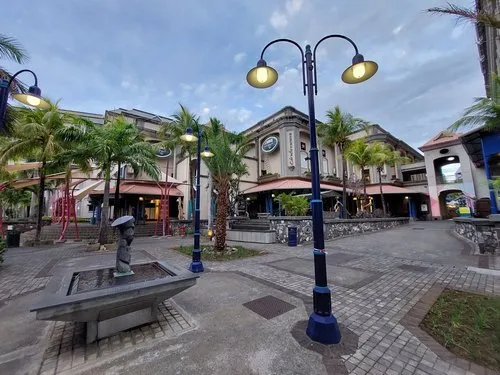
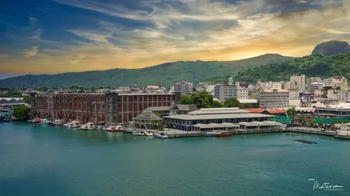
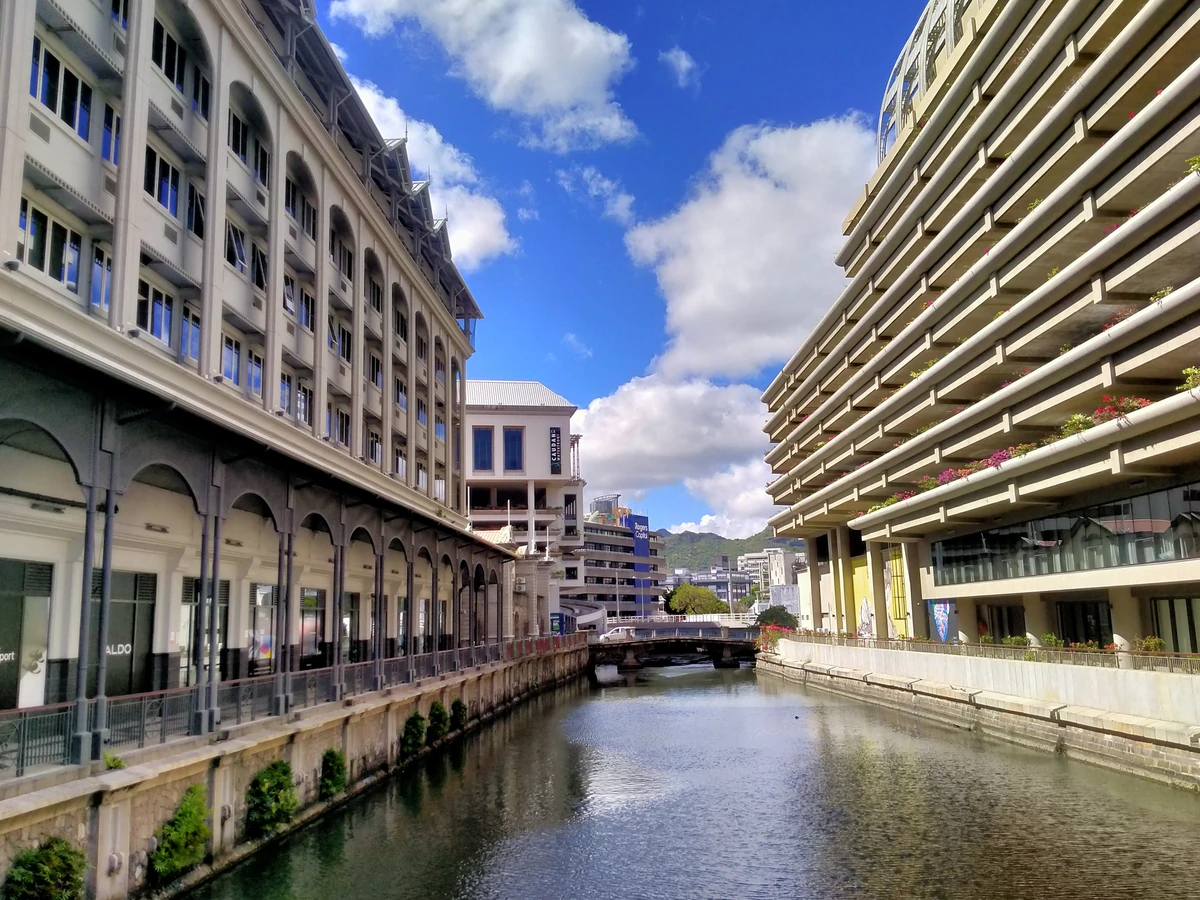
A view of the canal running through Caudan Waterfront in Port Louis, between the modern waterfront buildings and the commercial blocks facing the harbour. This waterway is closely linked to Ruisseau du Pouce / Pouce Stream, one of the old streams that drains rainwater from the mountain side of Port Louis down toward the sea. Historical references describe Port Louis as being cut by several streams, including Ruisseau du Pouce, while more recent flood-management documents mention Le Pouce Stream and the need to improve the outlet capacity at Caudan so stormwater can discharge more effectively toward the sea.
This makes the scene more than just a decorative canal inside a shopping and business area. It is part of the way water moves through the capital: rain falling on the surrounding mountains, including the Le Pouce and Signal Mountain side, flows down toward the lower parts of Port Louis before reaching the harbour area. Official parliamentary material describes Port Louis city centre as highly exposed to floodwater coming from the mountain range, with low points including Ruisseau du Pouce, Caudan and La Chaussée.
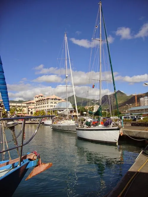
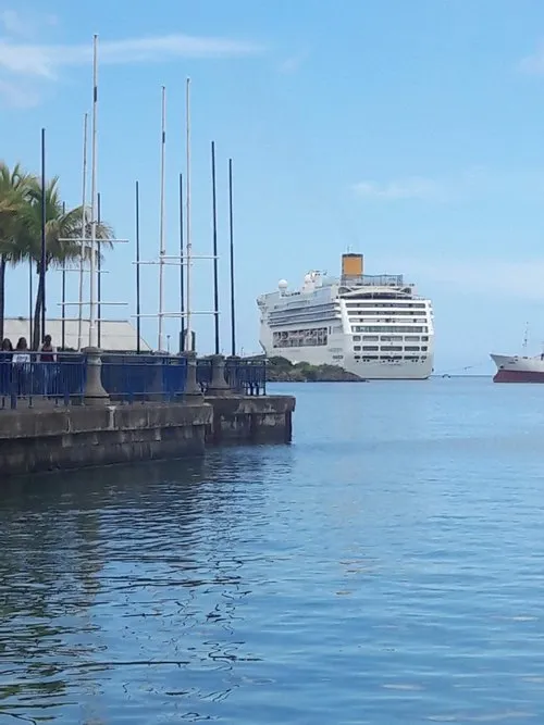
Caudan itself is built around the historic harbour edge of Port Louis. The marina area, known as Bassin des Chaloupes, is part of Le Caudan Waterfront and sits in a privileged harbour location, while the broader waterfront has become one of the best-known commercial and leisure areas in the capital. Isn't it interesting how, in one frame, you can see shopping arcades, hotel-style waterfront architecture, old drainage history, mountain runoff, and the harbour connection all meeting in the same place?
24 views
••August 27, 2026Camera Details
Camera-
Lens-
Aperture-
Shutter Speed-
ISO-
Focal Length-