Trou d’Eau Douce Lagoon from the Old Lime Kiln
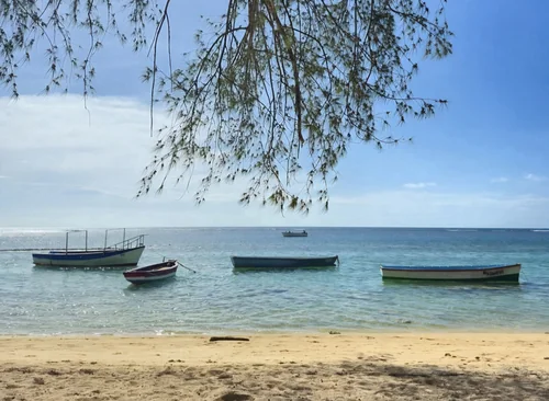
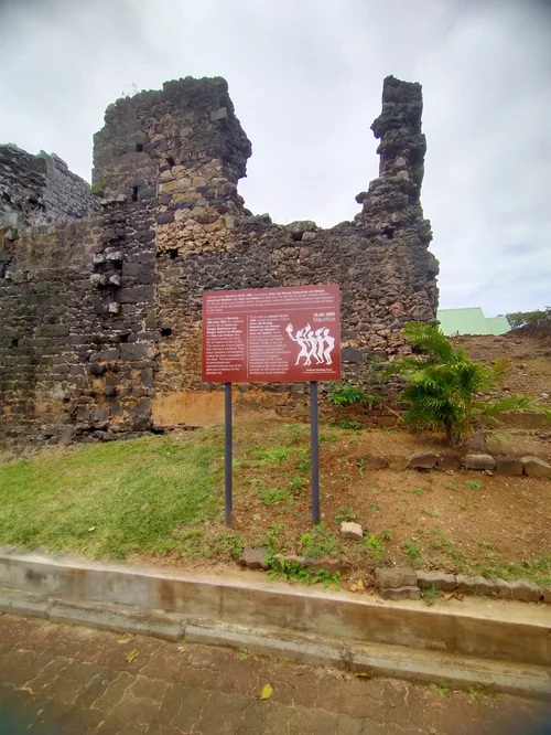
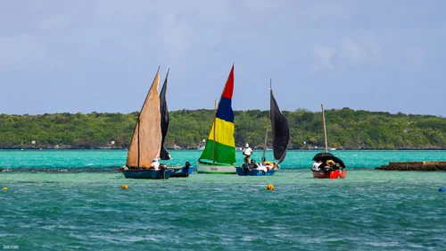
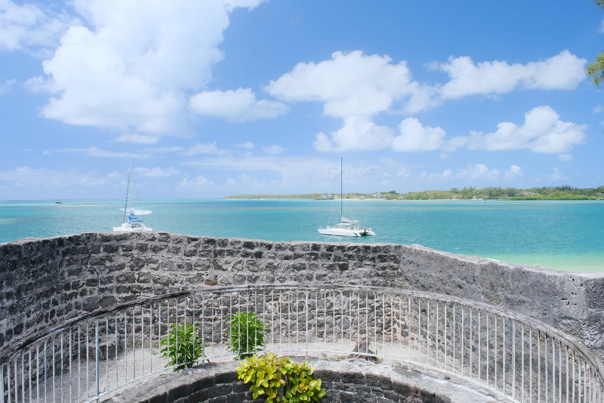
This photo shows part of the Trou d'Eau Douce lagoon viewed from the old lime kiln area on the east coast of Mauritius, in the Flacq district. The stone structure in the foreground is linked to the village's old coastal activity, when lime kilns were used to produce lime from coral and limestone materials for building and whitewashing. Trou d'Eau Douce is also known for its maritime role, as the village became an important embarkation point for boats heading toward Île aux Cerfs and the surrounding lagoon islets.
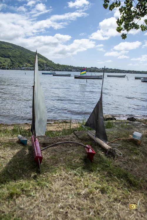
The old lime kiln is more than just a ruin beside the sea. It is also used as a reference point in official descriptions of the Trou d'Eau Douce Fishing Reserve, whose boundary starts behind the old lime kiln before extending toward nearby islets such as Îlot Lièvres, Îlot Mangénie and Île aux Cerfs. This helps show how closely the kiln, the lagoon, fishing activity and boat access are connected in the geography of the village. From this viewpoint, the stone wall, turquoise water, anchored sailboats and distant coastline all come together to show a less generic view of Trou d'Eau Douce: not only a beach destination, but a coastal village with heritage, fishing history and lagoon life.
16 views
••August 31, 2026Camera Details
CameraFUJIFILM X-T3
LensSIGMA 18-50mm F2.8 DC DN | Contemporary 021
Aperturef/10.0
Shutter Speed10/2000
ISO800
Focal Length18mm